Blog

工作與生活的整合 Work-Life Integration

(文章來源魅麗雜誌漣漪人專欄)

工作與生活如何平衡(Work-life balance)是很多職業女性關注的焦點,而男人也開始越來越關心這個話題,我服務的許多跨國企業也很重視它。從個人的角度來看,平衡(balance)是一種以時間為衡量單位的方法,讓我們能夠顧及生活角色的各個層面。然而時間是有限資源,一個領域得到多一些,代表另一個領域須犧牲,所以時時刻刻都處於零和遊戲中。

整合(Integration)則是一種把人生的各個角色,和諧地串聯起來,是一種非零和遊戲的做法。我認為只談平衡是不夠的,更透徹的做法是如何將工作和生活的融合。從我親身的教練個案,很多人談平衡,但真正有勇氣追尋融合是極少數,如果這個階段你只能夠做到平衡,也別氣餒,這已經是一個很好的開始。

尋求整合而非撕裂

當我開始創業,經營自己的教練服務,同時間也做了許多新嘗試,創造不同的可能,例如,我創作了漣漪卡,也寫了《漣漪詞》這本書,因為漣漪卡背後有一套個人成長的深入旅程,很多人不知道背後的意思,所以我透過寫書的方式,與漣漪卡的使用者能直接接觸,這是企業與消費者(B to C)的通路模式。而教練服務的工作都是跟跨國企業合作,是企業與企業(B to B)模式。

國際企業高階主管的需求都是提升績效,以領導力、個人效力、管理能力為主。我很努力地把兩個面向區隔開來,做企業教練時,會非常小心地避免談到生活,也不會引用漣漪卡、《漣漪詞》。我也經營「更快樂體驗營」;這是來自我在台東都蘭生活的啟發,希望在都蘭創造更多有意義的工作機會。「更快樂體驗營」推廣的是結合生活態度、社會責任,以及對大自然環境的友善保護。我過去很刻意把這一塊跟其他工作隔絕起來。我還有另一個身分是「非零餐廳」經營者,希望用這個餐廳嘗試創造讓年輕人有一個正向的工作環境。我和夥伴朱平先生創立了「漣漪人基金會」,幫助有心人創業,讓他們創造自己的生活與事業。

除了事業經營的不同面向,我也擁有每個人都有的身分:我是一個女兒,父母在馬來西亞;我是我愛人的伴侶;我同時是很多人的教練;也是台東這個社區的一分子。太多東西將我撕裂在不同的領域,此刻「平衡」已經無法解決不同角色的要求,因為一天就只有二十四小時的時間,當我們必須扮演那麼多角色與身分,卻沒有很好的結合時,就會產生一種撕裂的感覺。當我把每塊分隔清楚,反而形成了資源鬥爭,這資源,指的就是時間。

於是我發現用「整合」的方式可以帶來更多嶄新的可能性。整合,讓我看到每個身分其實有很多共同點。例如,餐廳提倡的理念與都蘭生活有很大的關係;我在都蘭跟土地的相處,同時幫助我強化了經營餐廳的理念。在都蘭時,我是個業餘有機農夫,更能理解小農面對的挑戰及跟大自然相處的重要。

以全面和整合的方式來經營人生,除了讓我活得更自在,也幫助我更有效地做教練的工作。我以前只關注客戶在工作上的角色,不關心他在生活上的角色。然而他可能正需要漣漪卡、《漣漪詞》和「更快樂體驗營」所提供的放空,以及深入認識自己的機會,了解到注重自我身心健康是一切事物的先決條件。如果想真正對別人產生幫助,我必須用一種全面的(Holistic)角度先整合自己的生活;當我們最基本的價值觀、最基本的角色,能很和諧地融合在一起,我們對真實的自己才能感到自在。整合的過程有很多不確定性,就像是一個旅行,一步步邁上自己想像的生活。所以,這正是我決定寫專欄的原因,把自我實踐的整合過程和大家分享。

剛收到我很喜愛的一位客戶MC的離職信,寫得很真實,非常感人。他過去五年是美國財富雜誌五百大公司的大中國區總經理。謝謝他許可我把這封信分享給《魅麗》讀者。不管是男性或女性,我們都有這種「把生活中所有重要組成部分融為一體」的欲望。差別是有沒有勇氣踏上這條探險的旅途。

也許大家還記得,我的個人夢想是「瞭解、發現併發掘自己內在無限的潛能,並幫助別人達到這一點」。 現在,相信各位都知道我已經決定辭去公司的職務,提前退休,全身心去追尋我的這個夢想。我知道這是一個異常的舉動,在此讓我盡力向大家解釋吧。 過去二十多年的職業生涯,我在兩家公司和八個國家追尋我的夢想。這個旅程充滿了喜悅,收獲了成功,更重要的是,我學習到的東西比我能想象的更多。 

十二年前,我成為了一名父親,我開始意識到,「無限的潛能」並不侷限於工作,我需要「想辦法」把我生活的所有重要組成部分融為一體:我的工作、我自己、我的家庭還有我的個人興趣。在過去幾年中,我有一種越來越強烈的欲望要在這些方面找到一種和諧。我熱愛我的工作,我愛這家公司。然而,工作消耗了我太多的精力,再沒有精力去做「其它」對我來說很重要的事情。所以,現在,我決定簡化我的生活,把我的精力更集中在「其它」事情上。 我知道這對大家來說可能有點震驚、很難理解,因為這是一個不常見的舉動。然而,這就是我的選擇,這就是我想做的事情。

事實上,這甚至不是一個選擇。我清楚知道這是我心裡想做,而且一定會付之行動的事情。過去十多年我一直渴望做這件事,可是一直都沒有足夠的勇氣。如今終於作了這個決定,我感到非常興奮和高興。 現在,最大的問題是,我雖知道自己將要做甚麼,可是完全沒有概念應該如何定義或解釋這個決定。「年輕退休」可能是最貼切的描述。

我是一個精力充沛的人,知道自己決不會「什麼都不做」。可是,目前在沒有找到「其它」讓我全身心投入的事情前,「什麼都不做」就是我想做的。未來要做什麼,暫且先放一放。如果有一天我又投入職場,可能會選擇一些能和我個人興趣緊密相連的工作,我可能不會選傳統的企業工作,可是,未來的事情,誰能說得準?這是在我目前所處的人生階段中一個正確的決定。同時請大家記住,每個人的人生旅途都是獨特的,有的人的確可以做到工作的同時釋放自己無限的潛能,因此這並不意味著其他人也要像我這樣做才能實現他們的夢想。

你目前採用何種模式來達到工作和生活的平衡?

快樂就是愛 Happiness is love

George Valiant

這一期我們談愛情,不過,是從幸福快樂的角度來談。最近看了一篇文章《快樂人生的祕密》,作者是哈佛大學醫學院著名的精神病學教授,喬治‧瓦利恩特(George Vaillant)。

文章內容敘述美國近代科學史上,持續時間最長的一個縱貫性研究。自一九三七年起,兩百六十八名哈佛學生參加了一個名為「葛蘭特研究 the Grant Study」的計畫,主要問題是:「美好生活」有沒有公式可套用?是什麼使人們覺得快樂?就這個問題開始長程蒐集所有參予者的資料。

這個歷經七十五年的時間,投入兩千萬美元經費的研究,依然持續進行中,研究發現:快樂人生的祕密,就是簡單五個字 『快樂就是「愛」』(註一)。美好人生的關鍵,是和他人有良好的關係。何謂良好關係?這裡指的不是因身分地位而形成的角色關係,或是擴大社交網絡,而是一種親密(intimacy)和具有安全感(safety)的連結。它是一種完全被接納(total acceptance)的狀態,雙方都可以真實地做自己。這種真實連結的產生,需要雙方在關係中發揮同理心(empathy)。這兩百六十八位學生,用全部人生為這個實驗提供資料,每五年就得做一次仔細的身體檢查,耐心地回答一大堆心理測驗卷,而且每十五年要忍受詳細的面談,每隔一年要回答一份問卷,他們將自我生命歷程全然敞開,就這樣持續了七十五年!「葛蘭特研究」所提供的資訊,可說是這類研究中最珍貴也最徹底的。

換句話說,我們需要同時擁有「愛」 和「被愛」的能力,才能夠與他人建立如此深層的連結(connect)和投入(engagement)(註二)。這份愛,不是愛情,情欲,親情,承諾或永恆的愛,它是一種與他人有同理共感的關係。喬治‧瓦利恩特從「葛蘭特研究」得出另一個結論:人真的有能力改變。儘管我們無法選擇人生的初始,譬如兒童時期所得到的愛與關懷,會影響成年後的應對模式(coping style) ;有些人年少時期沒有得到愛與關懷,而建立了不成熟或抽離方式(disengage) 去應對他人,無法與人建立連結。但通常會遇到一個慘痛改變人生的經歷,意識到自己必須改變,於是經過後天努力,我們有能力成長,能以更成熟 、更正向的應對方式面對人生。

你可能會好奇,為什麼要說得如此累贅,一個單字「愛」不就夠了嗎?愛和被愛,它是動詞,不是名詞。它不只是付出,也是接收。有些人喜歡說「被愛」比較幸福,我不同意這個說法。愛你的人,如果一直沒有得到你的愛,你只接收而沒有付出,總有一天他會不再愛你,因為他不但會覺得自己的付出沒有回報,更會因為不能得到回報,而找不到自己的真實快樂,累積了許多負面能量,覺得自己是個犧牲者,或是由愛變成恨。如果你不愛他,被愛也可能是個負擔。如果你只要別人愛你,而不知道如何愛別人,你也不可能得到真實的快樂。

我希望把話題從羅曼蒂克的愛,拉到更寬廣的角度來看。它是一種與他人有同理共感的連結。可以是短暫但真實的連結,也可以變成永久的友誼和支援。我的教練工作就是一個好例子,教練和客戶的關係,就是一種深層的連結,教練以好奇心,不批判和同理心的方式和客戶互動,讓客戶感覺到被愛和被接納的安全感,建立在真實「愛」與「被愛」的交流上,我才能幫助客戶突破及追求美好的人生,甚至可以說,教練的基本功力就是愛的能力。

這是許多從事教練工作的人,最難學會的事。因為愛是需要付出,愛是有條件的(我不相信無條件的愛),愛是要花時間陪伴的,愛是讓自己脆弱,愛是要冒險的,愛更是一種被需要的感覺及有能力助人的快樂泉源。

(註一)

『幸福就是愛』是我第一次的標題。但一直覺得把快樂翻譯成幸福又不太貼切。幸福對我來說有幸運,福氣的內涵,比較是讓人羨慕及不要太多自身努力的。英文的Happiness有多重意義,它包括中文的「幸福」的感覺,也包含充滿正向情緒的狀態。所以我決定用「快樂」取代「幸福」。

(註二)

「成長的階段」的第6階段(親密)和第7(繁殖)就是建立愛與被愛的能力的階段。前面5個階段是學習建立成熟的人格,才能夠開始愛別人(接納,關懷,幫助,培育等),也能夠接受被愛。我們才能夠建立美好、深層的連結

Patagonia Trip Plan

Many friends asked about our trip so I thought I would share the details of our trip here.

Day 1

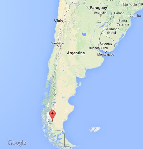
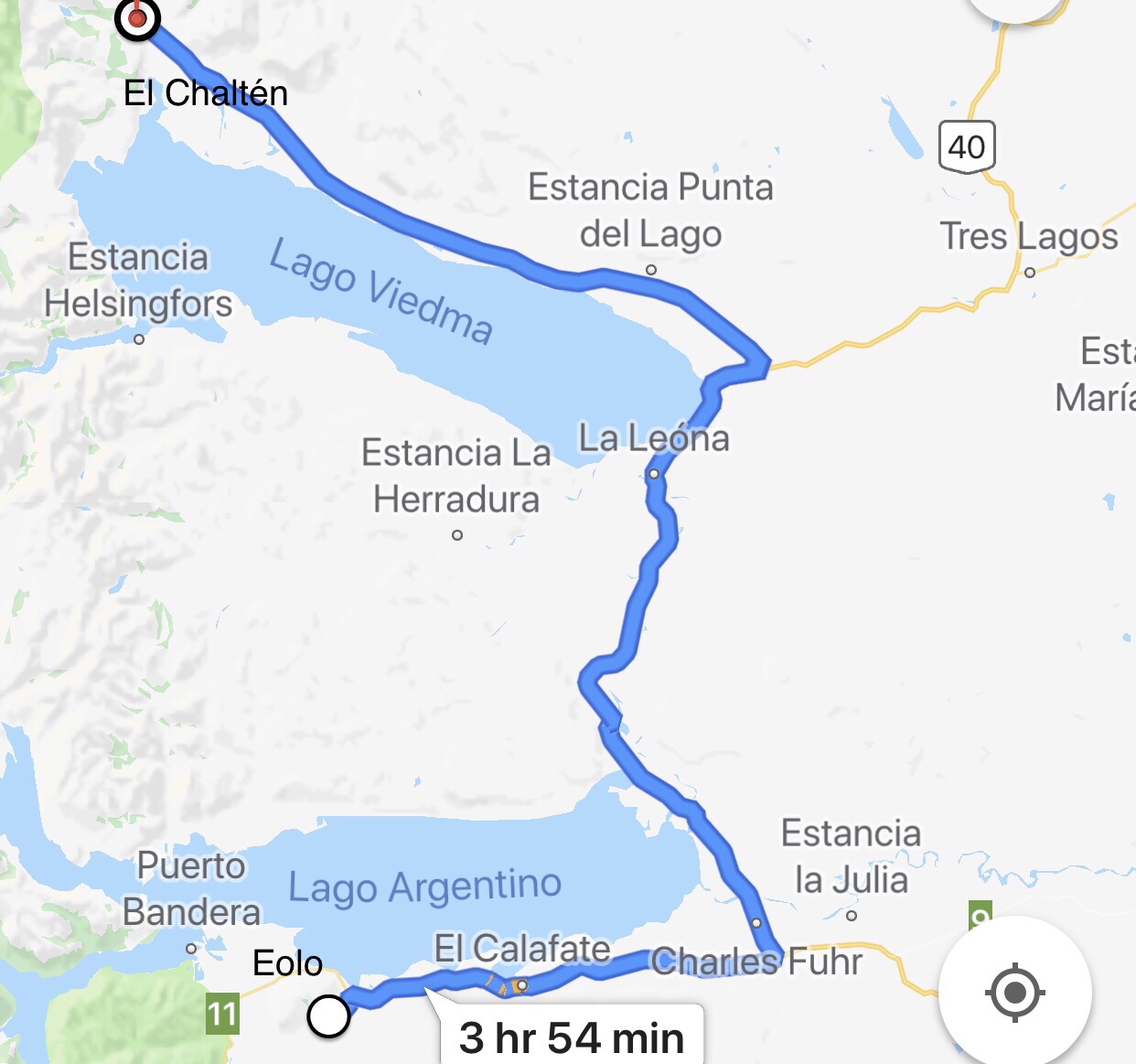
Fly from Buenos Aires to El Calafate, a 3.5 hours flight, and a 3 hours drive to El Chaltén.

Day 2 Cerro Torre Trek

Full day hike to Laguna Torres. This hike ends at Laguna Torres with Glaciar Torre and view of Cerro Torre which we didn’t see as it was shrouded in the low clouds.

Day 3 Monte Fitz Roy Trek

Let me share with you what we actually did and what I recommend you do instead.

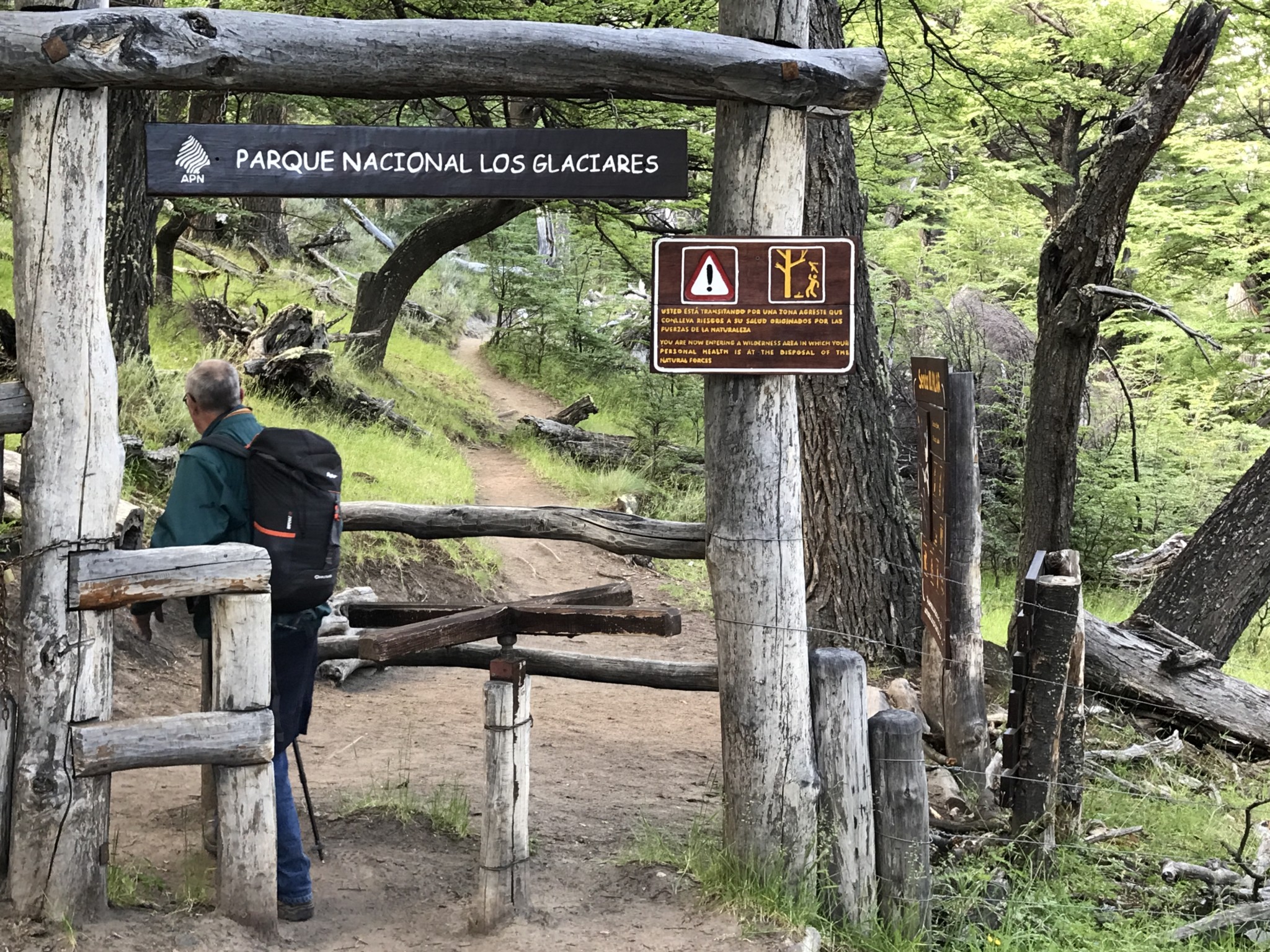
Hired a car to take us to the starting point, El Pillar, 17Km north of El Chaltén. We started at 3am, hiked two hours to Point Poincenot to catch sunrise on Mt Fitz Roy. Instead of hiking up to Laguna de Los Tres at the base of Monte Fitz Roy, we took the easy flat trail to Lago Madre e Hijo then turned back. http://www.tanyeeming.com/the-best-day-hike-in-el-chalten/

In hindsight, I would do the following instead. Start from El Pillar to Campo Poincenot then go all the way to Laguna de Los Tres. On the way back, at Poincenot, take a different route and walk all the way downhill back to El Chalten town.

Tips at El Chaltén

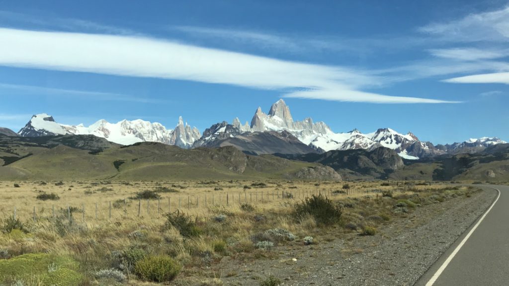
1. The sun doesn’t set until around 9.30 or 10pm. You can still go out and explore El Chaltén after a full day hike. If the weather is good, make sure you go outdoor, walk to the river Rio Fitz Roy (entry to the town) and you get panoramic view of the mountain range with El Chaltén town in the foreground.

2. The best restaurant here is La Tapera. Their Locro, a Argentinian hearty stew and vegetable rice wok, a very wet fried rice with vegetable is surprisingly good.

3. Internet is very slow and no cellular signals.

4. We stayed at the top hotel Los Cerros which is so so and it is at the highest point in town. I would just be happy to stay in the cheaper places below and get a better view of Fitz Roy instead.

Day 4

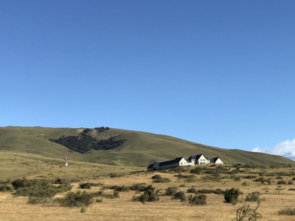
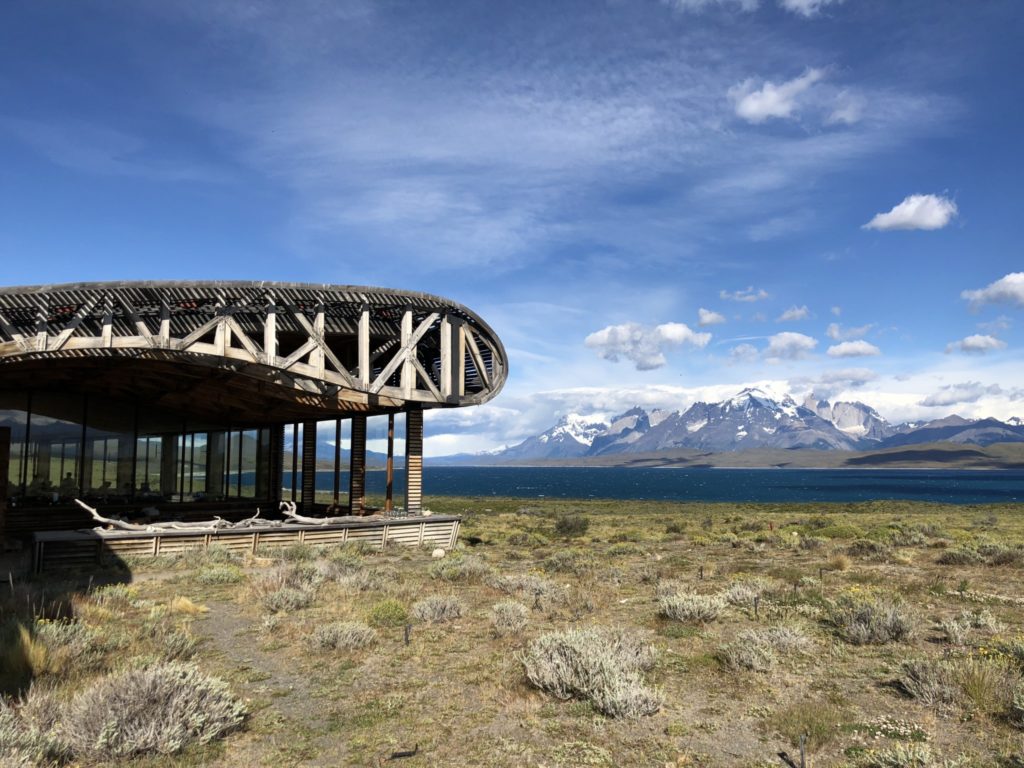
Transfer from El Chaltén to El Calafate and from there 30 mins drive to our next hotel Eolo Patagonia. Gorgeous little hotel in Estancia Alice with views of Lago Argentina on the north and Torres del Paine mountain range on the south.

Day 5
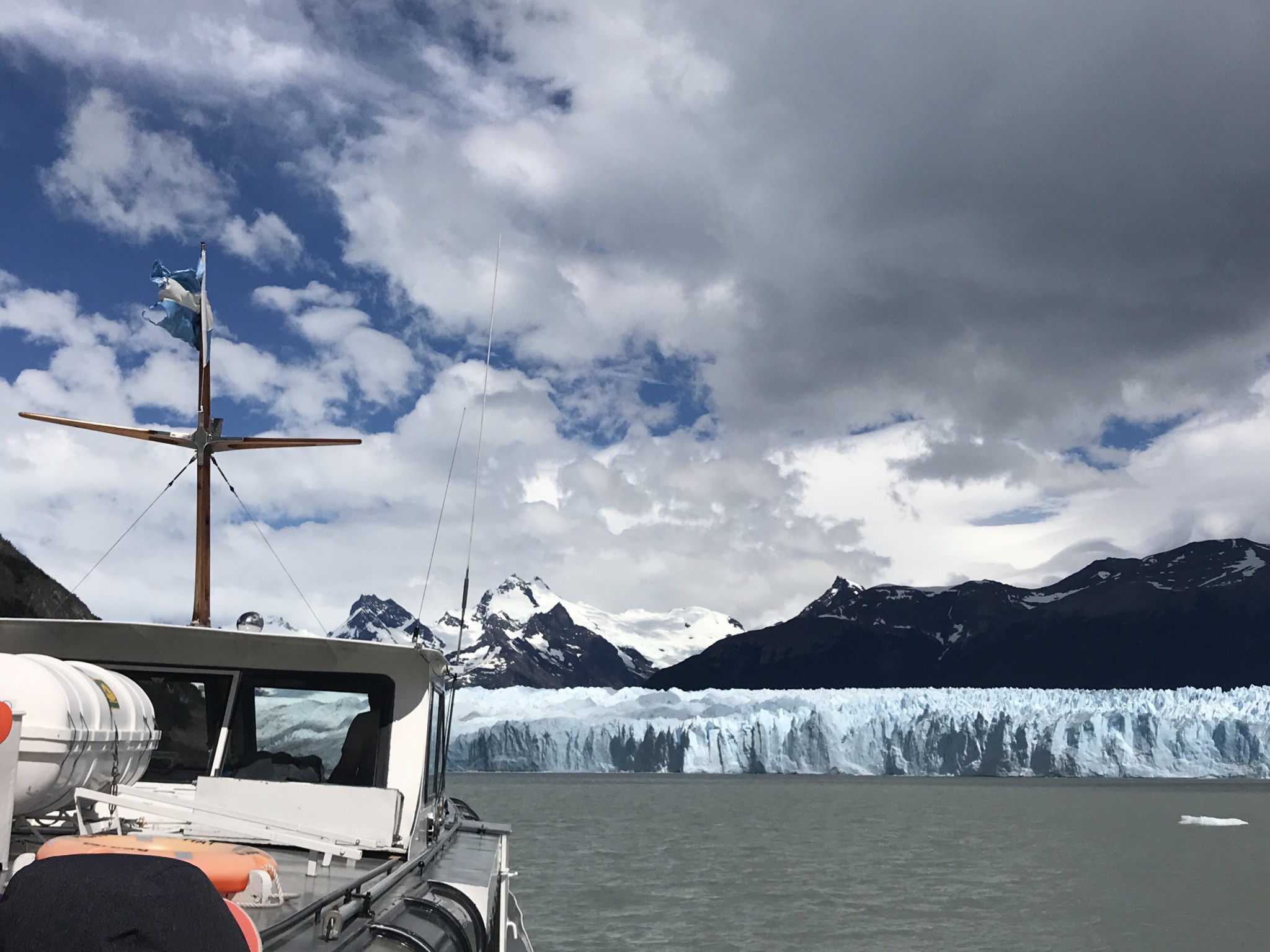
Glaciar hiking at Perito Moreno, a full day excursion.

Day 6

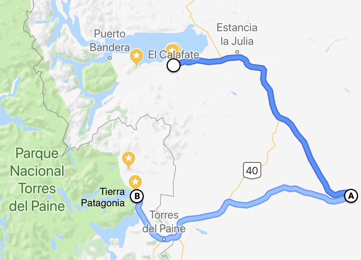
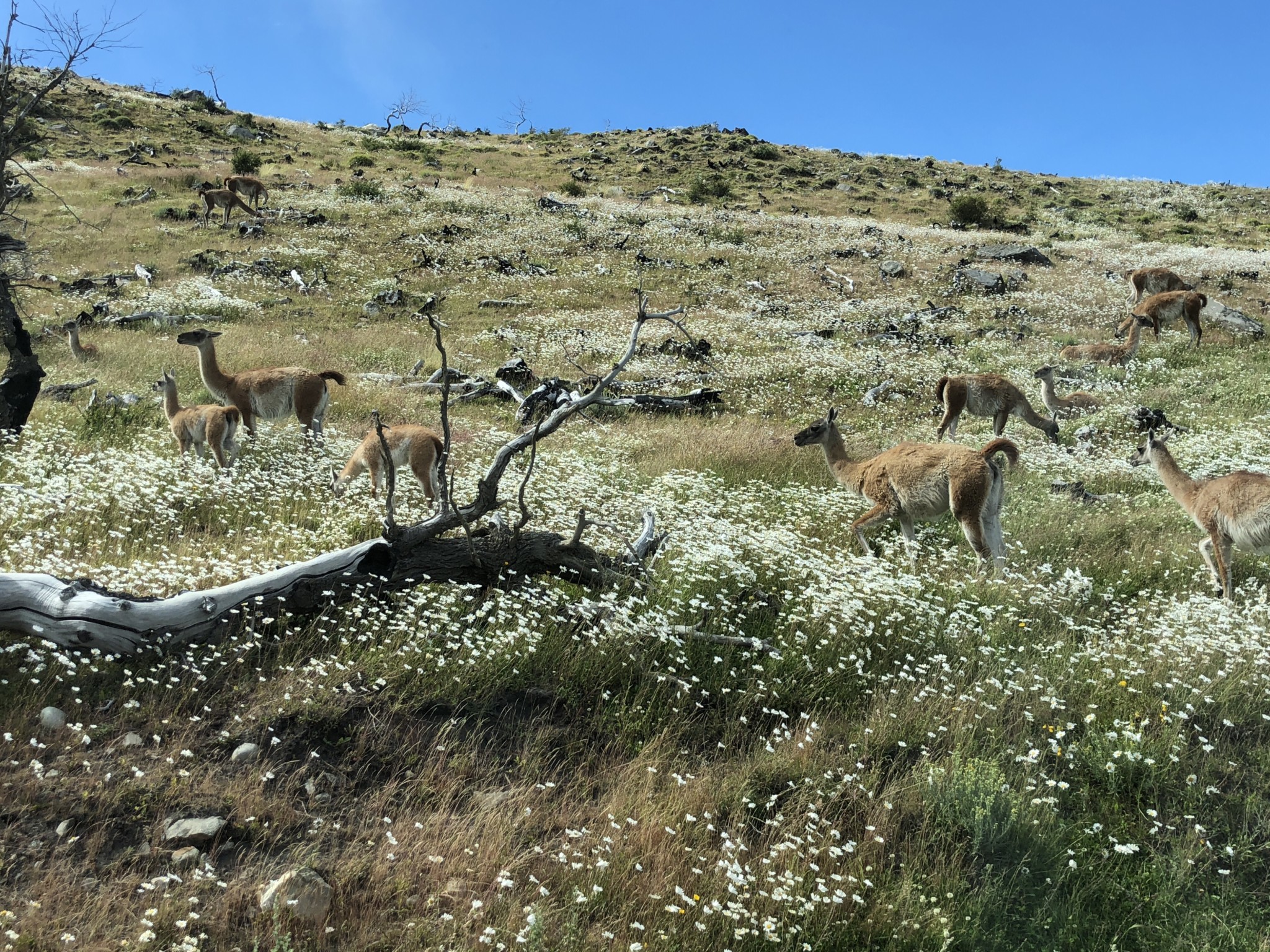
On the road. Travel by car from El Calafate on Ruta 40, stopped at La Esperanza, crossed the Argentina and Chilean border to arrive at our next hotel Tierra Patagonia. Beautiful five hour drive across Patagonian steppe. We arrived at Tierra in time for lunch and joined the afternoon excursion to Laguna Azul. Saw plenty of wildlife and waterfall on the drive to the lake. A stroll on the shore of Laguna Azul ending with a nice picnic while admiring the view.

Day 7 Paine Tower full day hike 

Read here for details of the hike and pictures. http://www.tanyeeming.com/the-best-day-hike-in-torres-del-paine/

Day 8

Enjoy the day at the hotel. Woke up early to catch the sunrise on Torres del Paine mountain range, enjoy a leisurely breakfast, catch up with emails and reading, hang out with new friends, explore Lake Sarmiento right in front of the hotel and surrounding. A glorious day indeed.

Day 9 French Valley full day hike

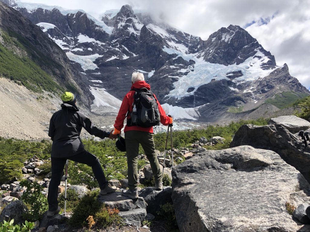
A long day. A 45 minutes drive, then an hour or so on the boat and we finally got to Refugio Paine Grande to start the French Valley trail ( the middle leg of W).

Day 10

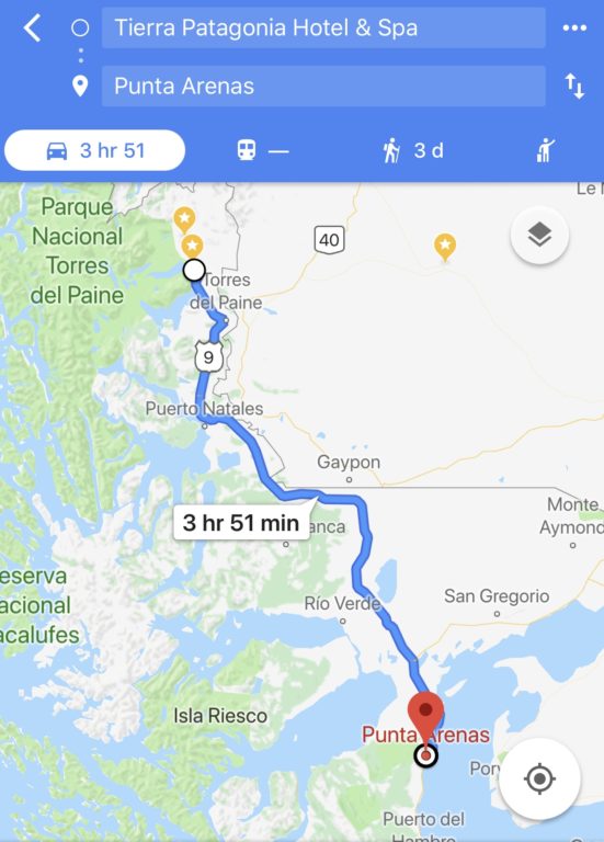
Depart hotel for Punta Arenas airport, which is 4 hours drive away.

if I were to do this trip again, I would do either of these two things.

1. Spend one full day or stay one night in Punta Arenas. There are several amazing hotels here and visit the penguin colonies here at Isla Magdalena (half day tour).

2. If I have more time, I would tour Antarctica. There is a an 11-day Antarctic fly and sail cruise adventure from Punta Arenas to Ushuaia. Or fly to Ushuaia then go to Antarctic from there as more cruises leave from Ushuaia.

From Ushuaia which is in Argentina, fly back to Buenos Aires. This will make the international airfare much cheaper as you would fly in and out of Buenos Aires.

The best day hike in Torres del Paine

The W Trek is Patagonia’s most famous hiking route, with the granite towers that give the park its name. In full, it’s a 4 or 5 day hike that can be walked without carrying gear or food, between refugios or campsites. It can also be broken up into day hikes from comfortable hotel bases, or incorporated into longer, wilder treks. To make the four-day trip accessible to all hikers, serviced campsites along the route hire out tents and on-site canteens provide nutritious, three-course meals.

The O or Full Circuit is a 7-9 day route that adds a northern section on to the park’s famous W Trek.  Circling the Paine Massif (the towers) and exploring much more of the national park, this 129 km route, delivers on all of the park’s most celebrated sights. The extra distance and absence of refugios on the northern side, meaning you’ll definitely be doing some camping, make it a tougher trail, as you will be carrying your own camping equipment.

Remember, well-meaning guides will talk you into taking the easier hikes, unless you come prepared knowing specifically what you want to do. This time we insisted that we are ready for the challenge. 

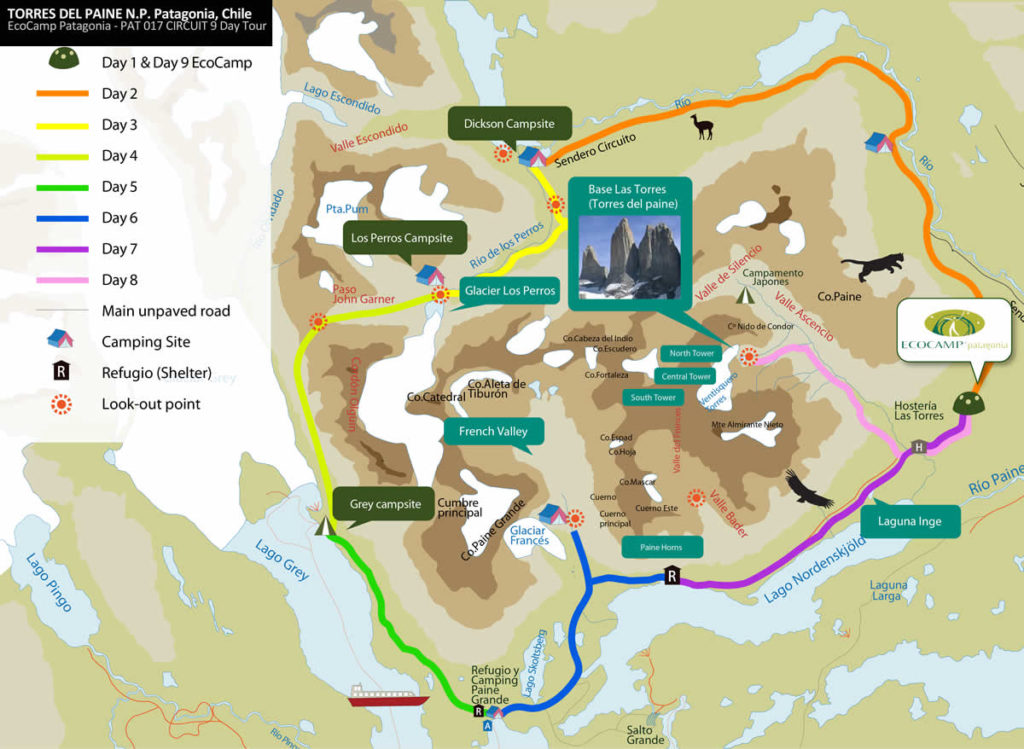
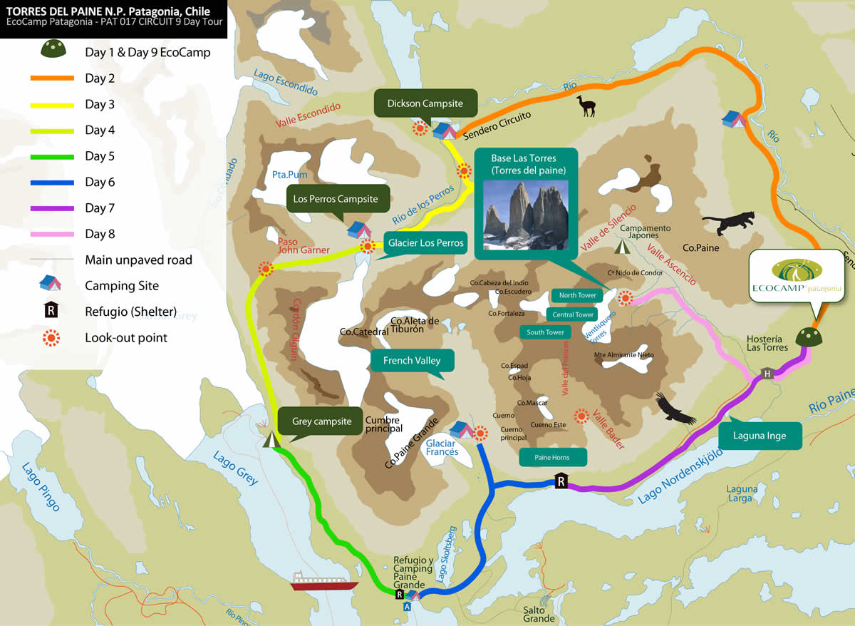
We knew we wanted to walk to the base of the towers(the pink route on the map), about 20km and 9 hours to complete. It is the toughest of all day hikes but is also the iconic trail in Torres del Paine National Park. With its landscape of aquamarine glacial lakes, and the skyrocketing granite torres (towers) from which the park takes its name, Torres del Paine has captured the imagination of trekkers from all around the world.

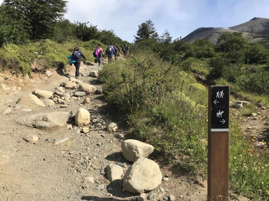
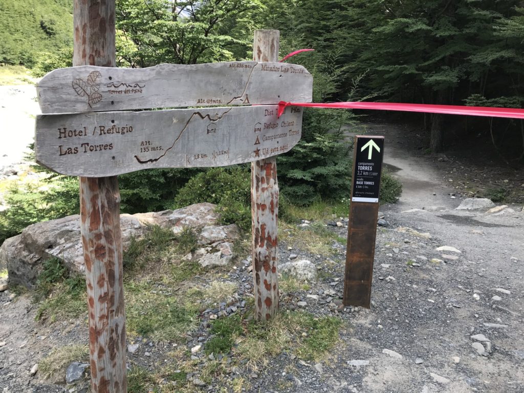
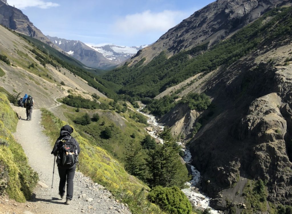
The walk started easily enough with a flat stroll across the open grassland from the Eco Camp,  then we began to hike up a steep ascent next to the Ascencio River until reaching the Paso de los Vientos (Pass of the Winds).

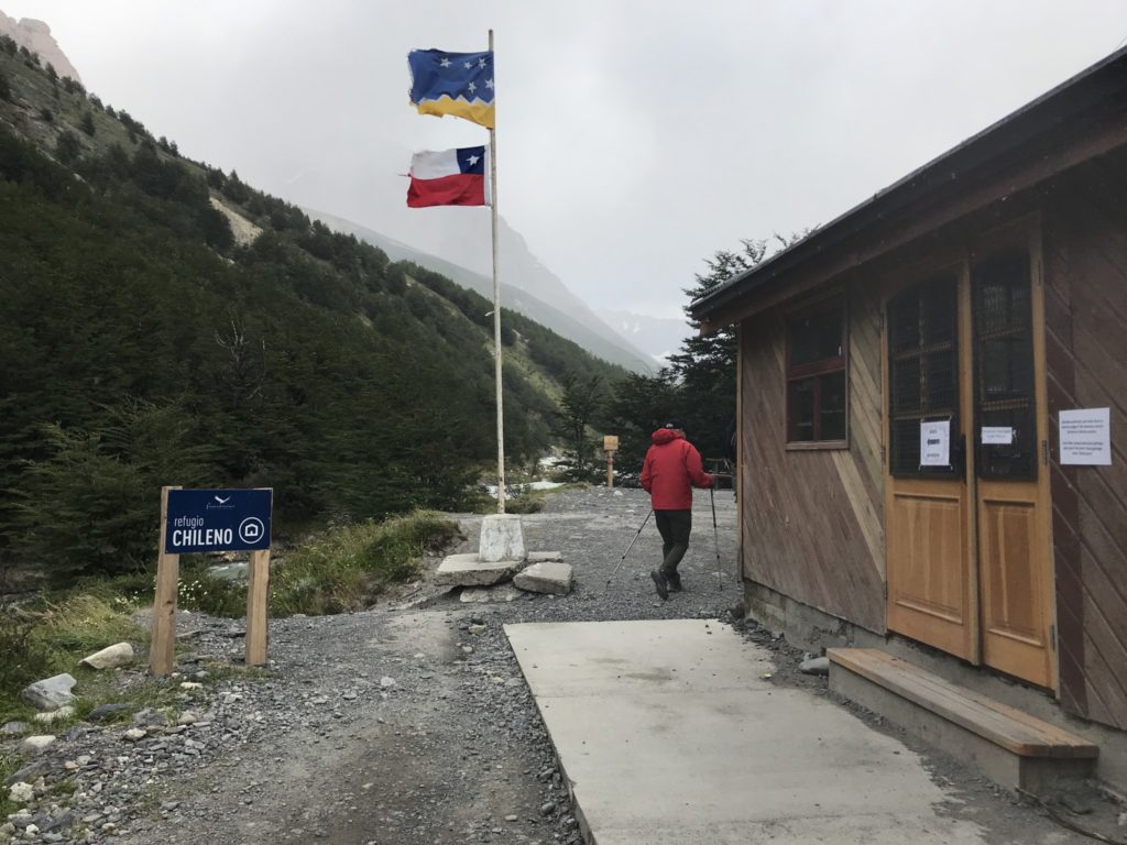
After passing through dense forests at Refugio Chileno, we reached the most challenging point of the trail. This last section, a 1.5km moraine section of loose rock and boulders and 500m elevation,  requires total focus and often using our hands as well.  

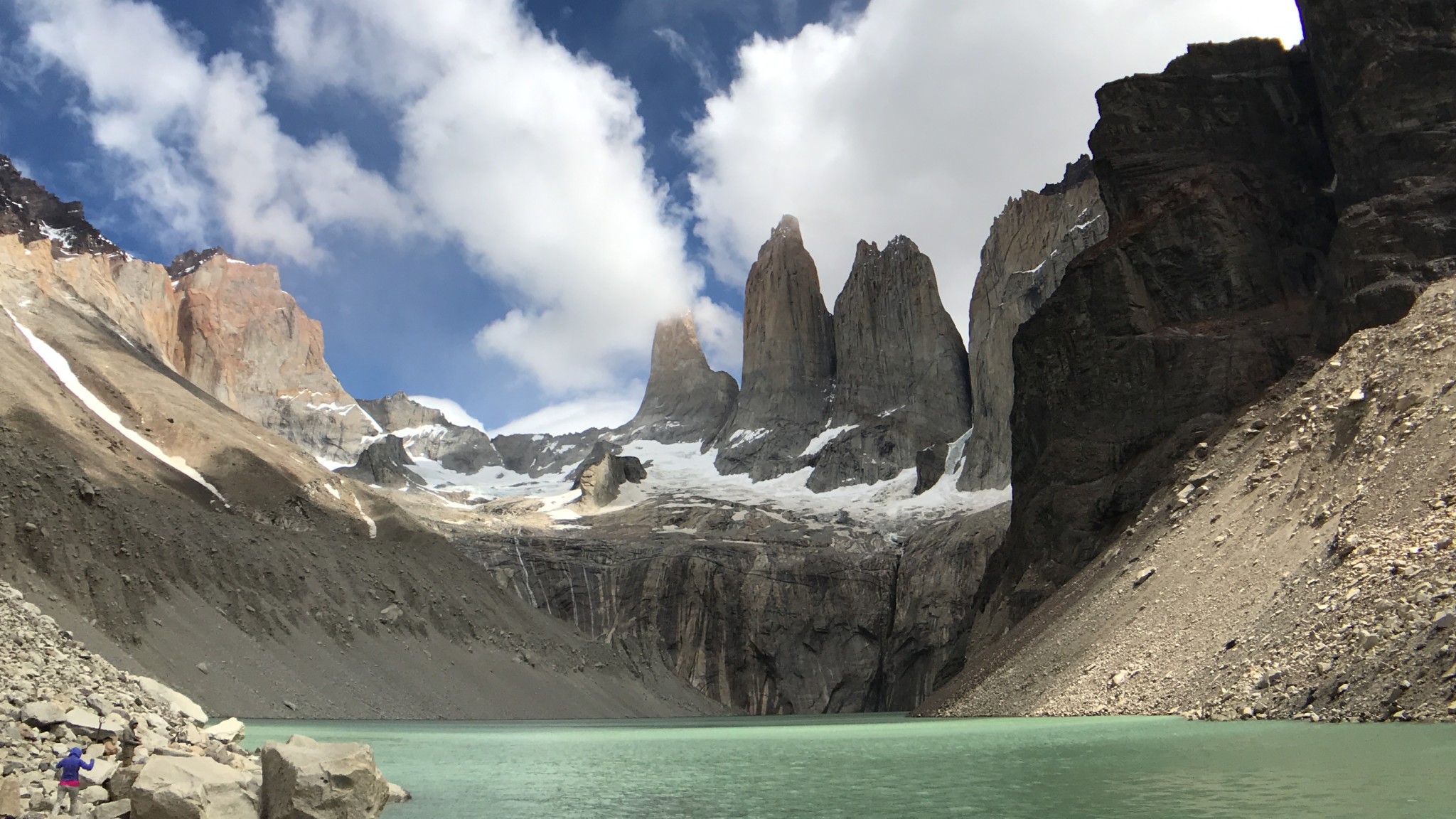
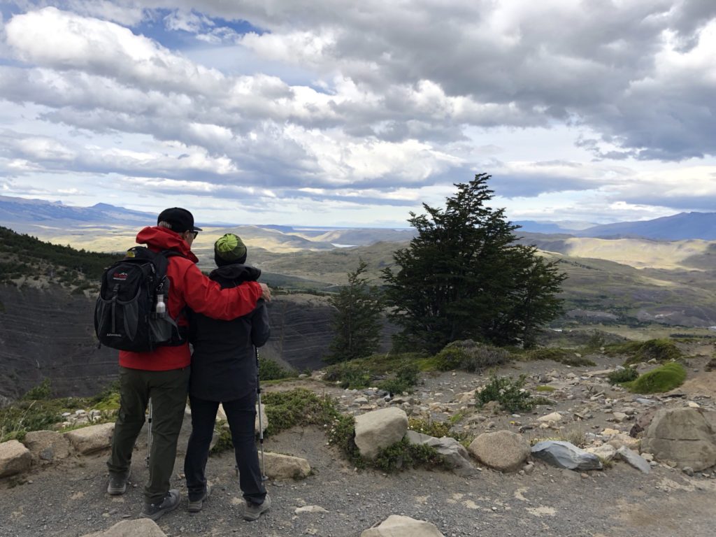
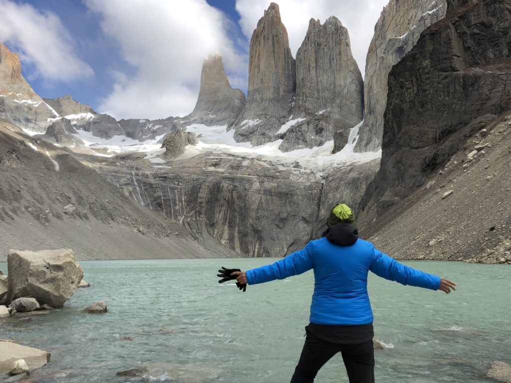
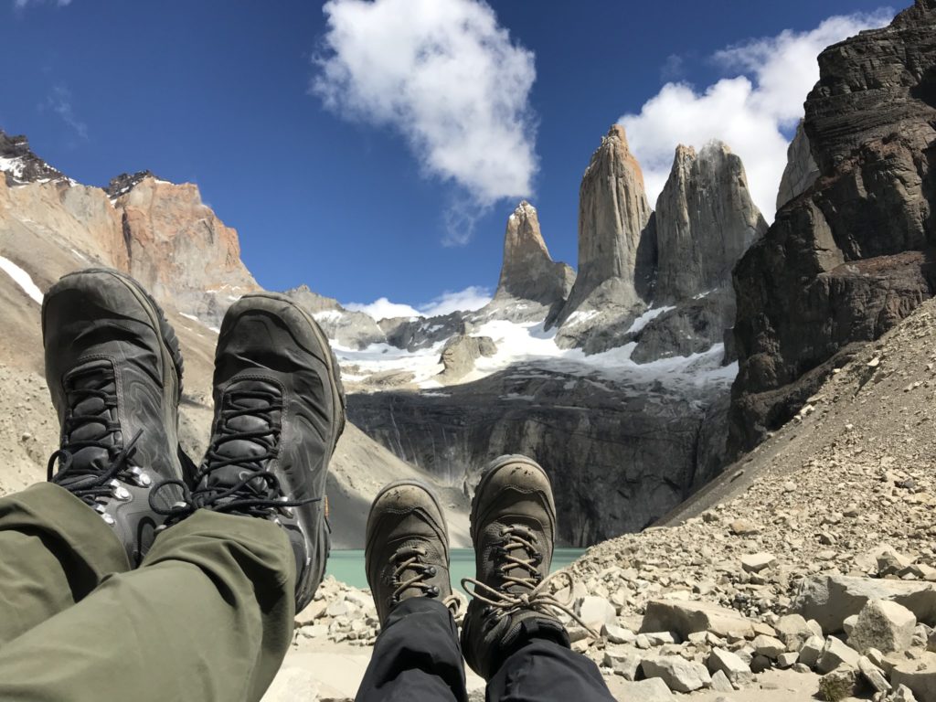
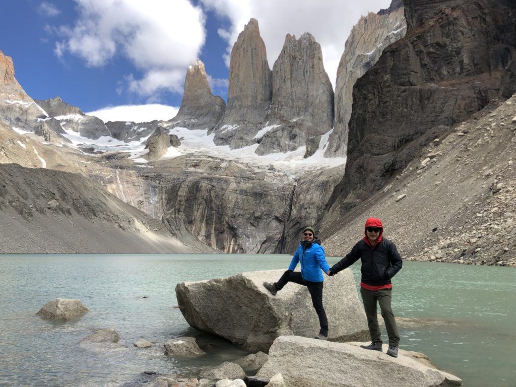
Having ascended through this difficult terrain and battled against the winds we arrived at the lookout where we were face to face with the classic, breath-taking view of the Torres del Paine. What the pictures cannot show is the biting Patagonian winds of Torres del Paine, so strong that it will knock you off your feet. We all settled down to our well deserved packed lunch. Our guide Thomas whipped out from his heavy backpack tea bags and hot water for a nice cup of tea. Just what i needed after the long hike.

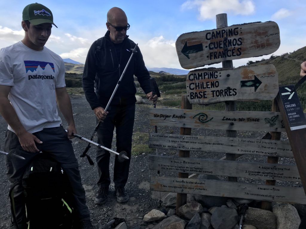
Trail head, near Hosteria Los Torres[/caption]
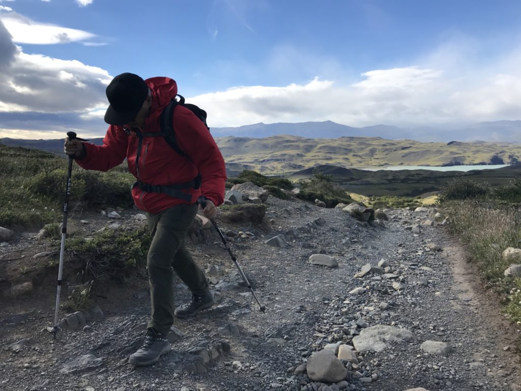
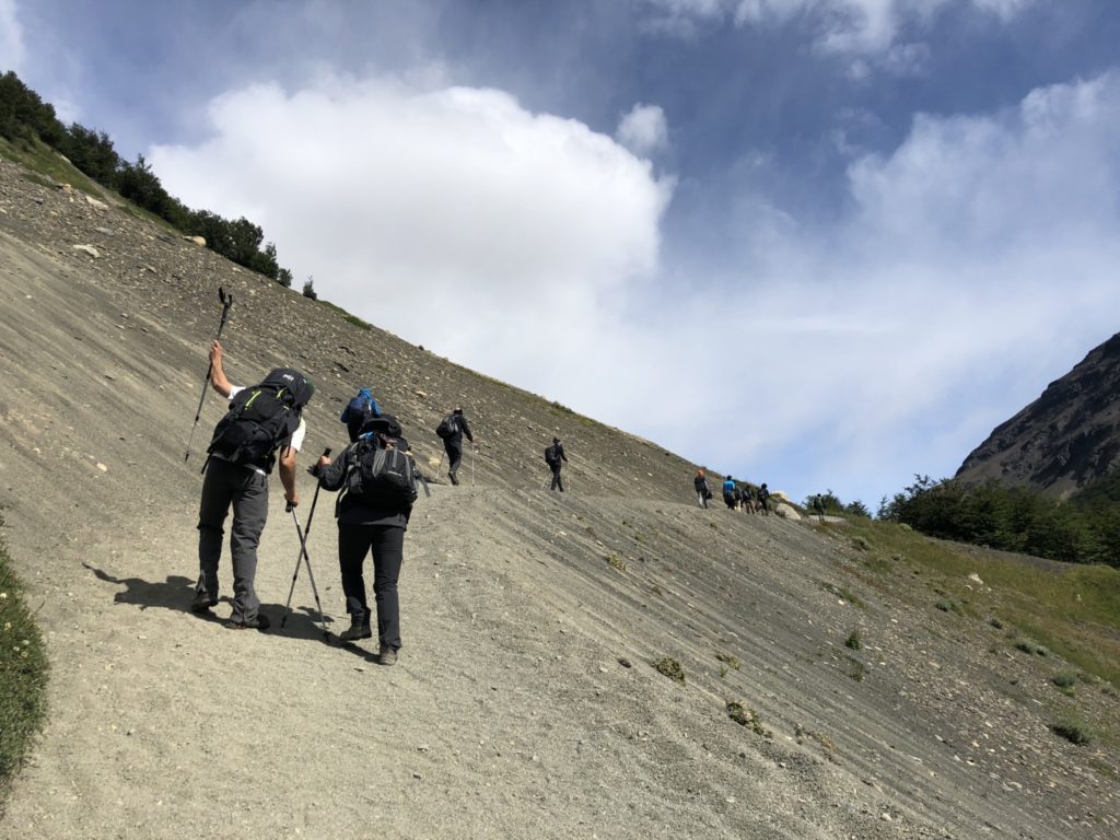
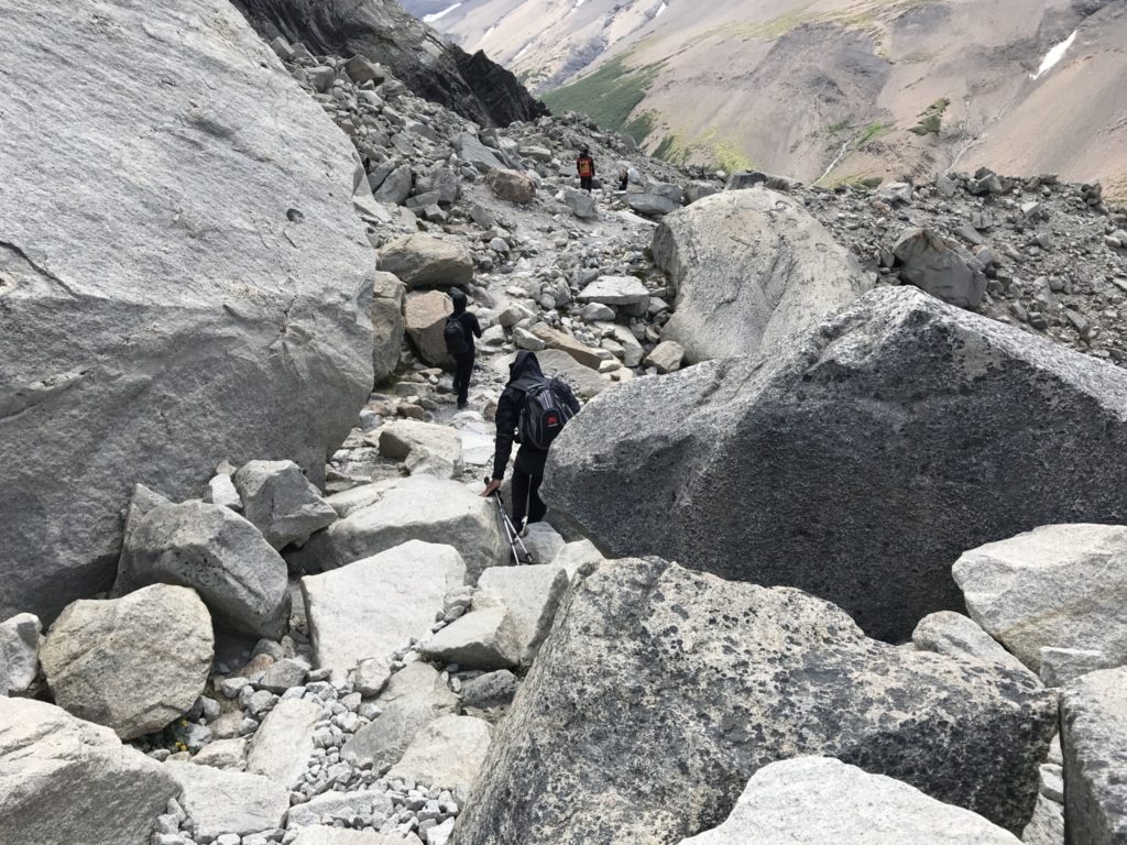
The last section, approximately 1.5km and 500m elevation,  is the toughest part, a strenuous scramble over the moraine, often using our hands to climb the huge boulders. 

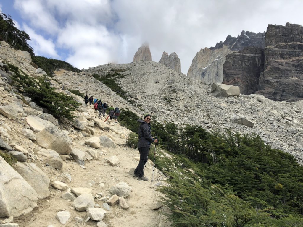
A steep climb up the valley[/caption]
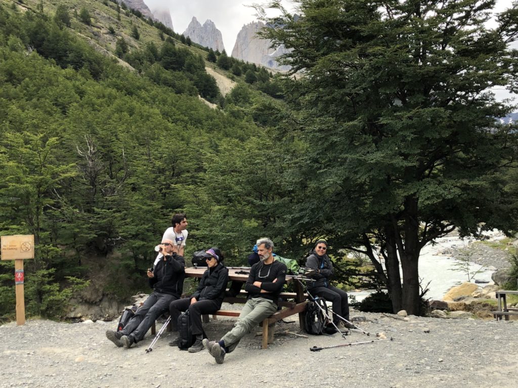
Taking a breather

This stretch is a wind tunnel. At one point, a gust of Patagonian wind literally stopped me in my tracks. If it wasn’t for the backpack, I would have been blown over.
Didn’t know what moraine is until I got here. Moraines are accumulations of dirt and rocks that have fallen onto the glacier surface or have been pushed along by the glacier as it moves. The dirt and rocks composing moraines can range in size from powdery silt to large rocks and boulders.
Refugio Chileno camp site, and others in the Park, are serviced camp site. Tents and meals are provided, saving trekkers the hassles of carrying own camping equipment.

When we got to Refugio Chileno, we were told Las Torres Lookout was close due to strong winds. I flew half way around the world for this and it was so disappointing. We were so close already! As luck would have it, the trail miraculously reopened just as we were about to turn back.

Here is another section of moraine, this time with bigger rocks and boulders.
The most grueling part of the trail, about 1.5 hours of navigating through rocks and boulders.
Euphoric moment of blue sky, warm sun and chilling Patagonian wind.
We made it!

Downhill is just as tough as the climb, really tough on the knees.
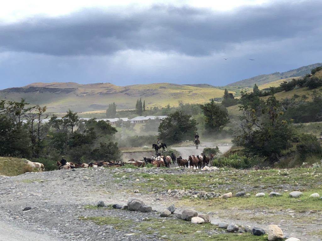
Hundreds of horses galloping across the creek.
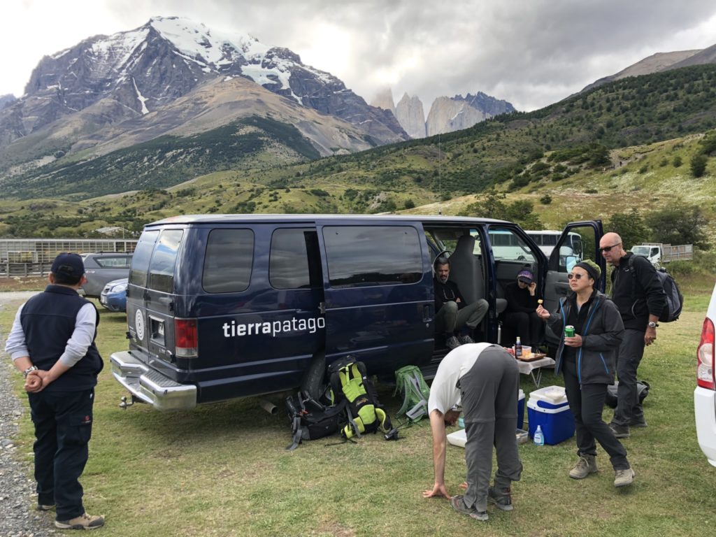
Celebrating a hard day’s work in style, courtesy of Tierra Patagonia. Cold beer, cold cut and fruits!

The best day hike in El Chaltén

If you are in El Chaltén, the Laguna Los Tres trail is a must.

The Laguna Los Tres is often compared to the iconic towers’ base lookout hike in Chile’s Torres del Paine National Park.  Having hiked both trails, they are comparable in the class of world’s best day hike category. The diversity of landscapes and the numerous surprises along the way make it a great hike.

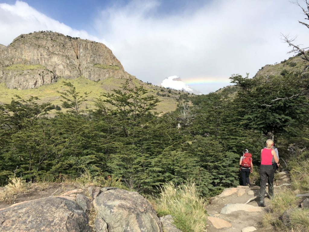
You have two options. One is to start the hike from El Chaltén, leaving the city in the early morning and going uphill for about 4 hours before reaching the  Laguna Los Tres. The second option is to take a transfer to El Pilar (about 17 kilometers north of the town) and to warm up with a gentle walk through a beautiful lenga forest. No doubt about it, the second option is way better – you’ll see more landscapes, and you’ll be less tired.

We took the second option, hired a car to take us to Hostería El Pilar, where we started walking along the Rio Blanco river. Did I mention that we hiked in the dark? Having done a night hike at Mt Yushan in Taiwan, we thought it might be good to catch sunrise on Mt Fitz Roy. We started hiking at 3am and walked in the dark for 2 hours till we got to Poincenot Lookout , then a bit further through Camp Poincenot to Lago Madre e Hijo (the mother and daughter lakes)
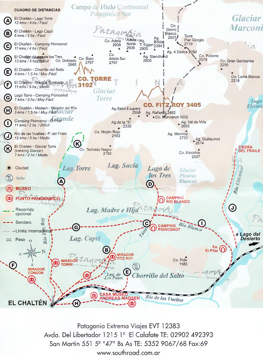
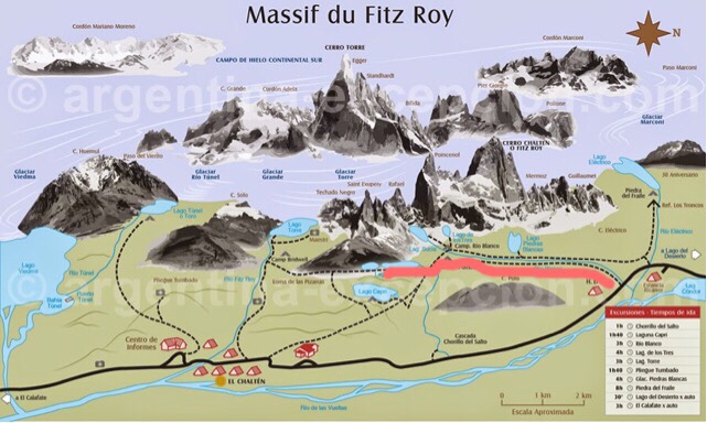
Here is the actual route we took (distance is approximate):

Route I: El Pilar to Camp Poinsenot, 2.5 hours, 6km one way
Route G: Camp Poinsenot to Lago Madre y Hija, 1 hour, 3km one way (walked half way only).

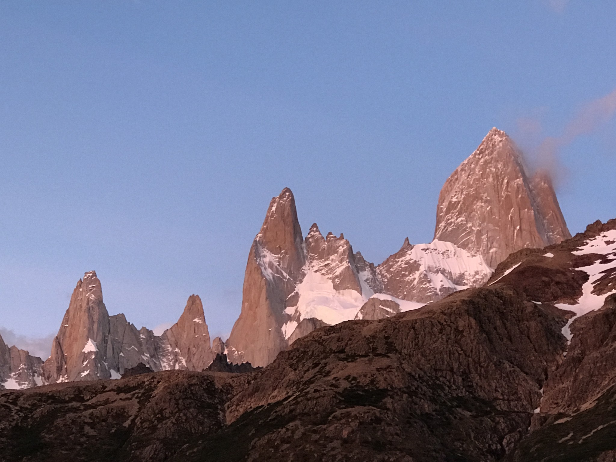
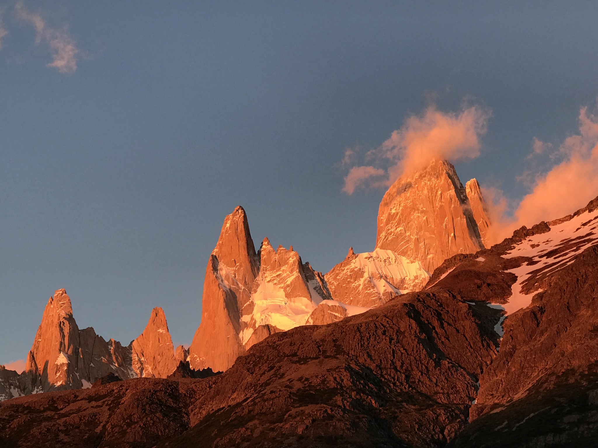
We waited at a point (half way between the Mirador Piers Blancas and Camp Poincenot) for the first light and another 15 minutes or so the whole mountain range turned fiery orange. It was terribly cold due to wind chill, a sheltered spot really made a difference.

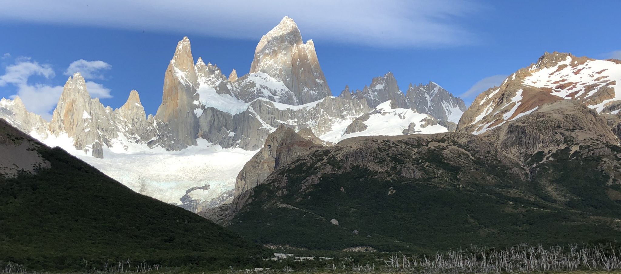
Mt. FitzRoy is famous for being hidden in clouds. In fact, its former name, Chaltén, means “smoking mountain” so-named because most of the time it was covered in smoke (but really, in clouds).

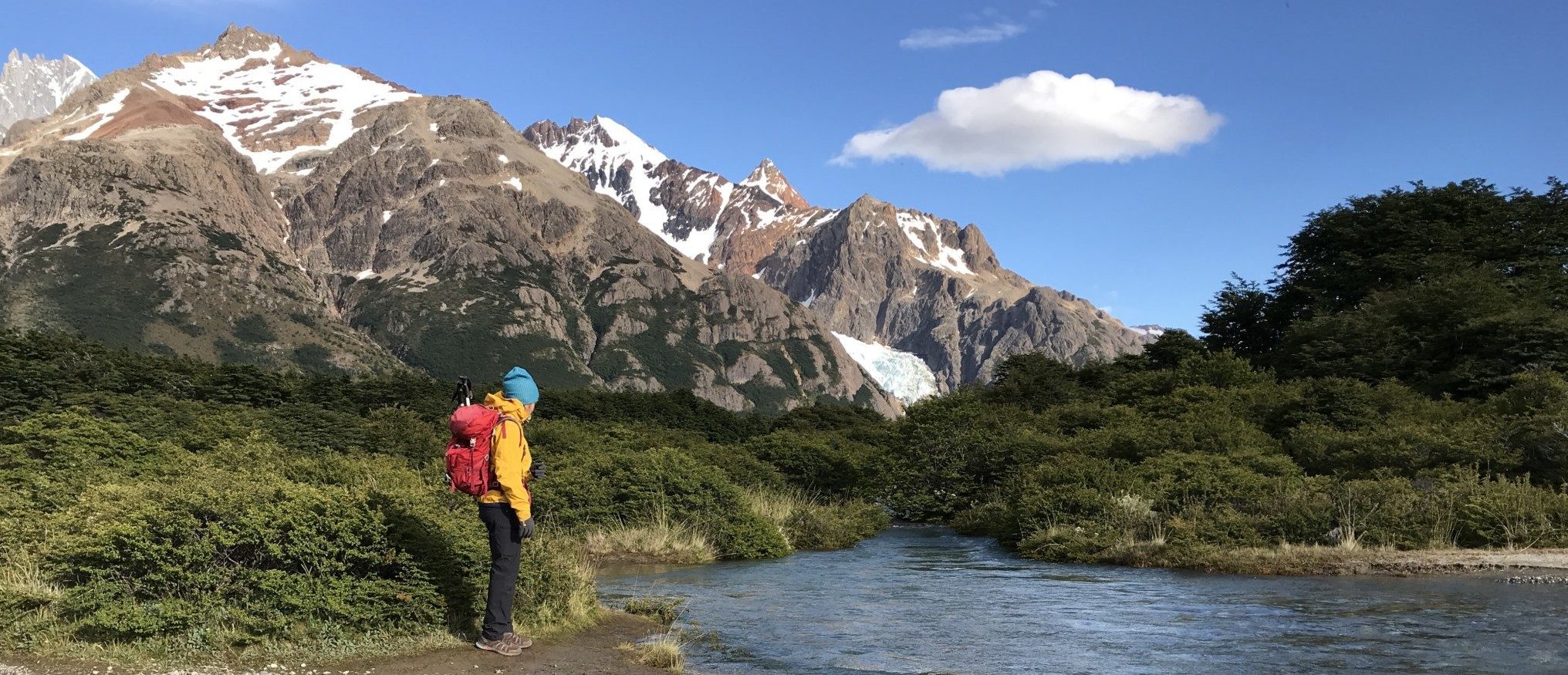
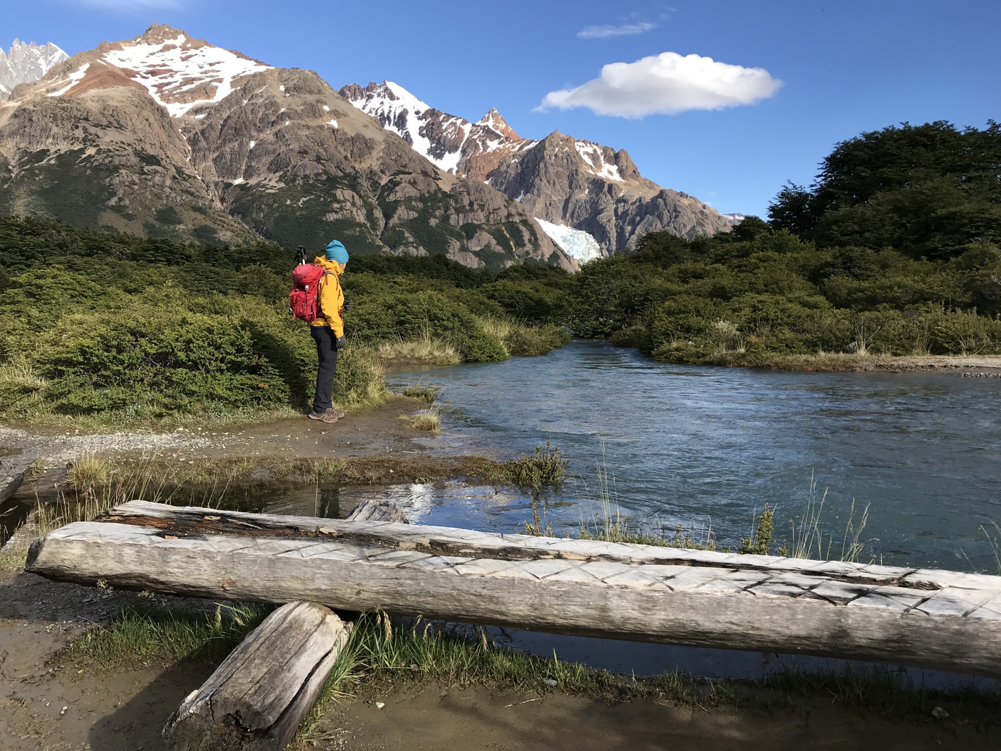
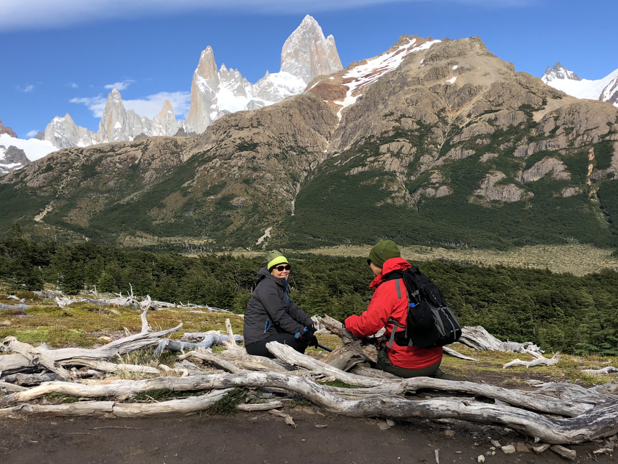
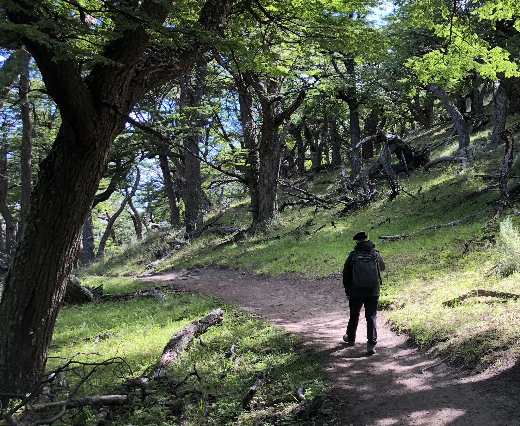
We should have done more homework (who would have known that the internet at El Calafate would be so slow that it was impossible to google anything) as we could have had an even better view if we had walked a kilometer further to Campamento Poincenot. This stretch of the hike is breathtakingly beautiful. Instead of the steep climb to Lago de los Tres, the guide talked us into walking to Lago Madre e Hijo which was really not that impressive but offers a great view of not just Fitz Roy but the entire range of peaks. The hike was flat and beautiful, passing through lenge forest and streams.

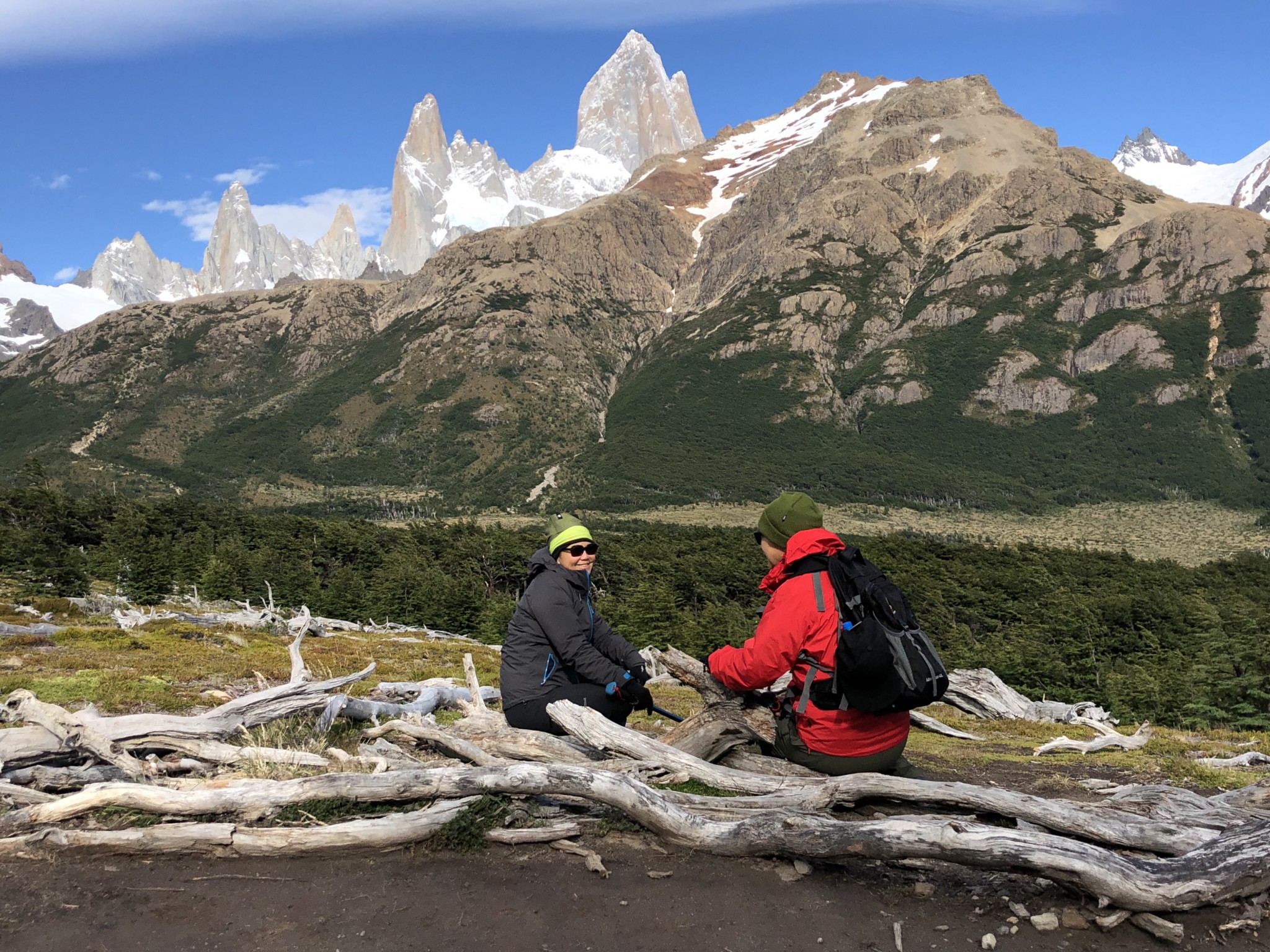
To the left of Mount Fitzroy are Cerro Poincenot, Aguja AG Rafael, Aguja Saint Exupery. The Fitzroy mountain range is on the boarder between Argentina and Chile. El Chaltén, Argentina.

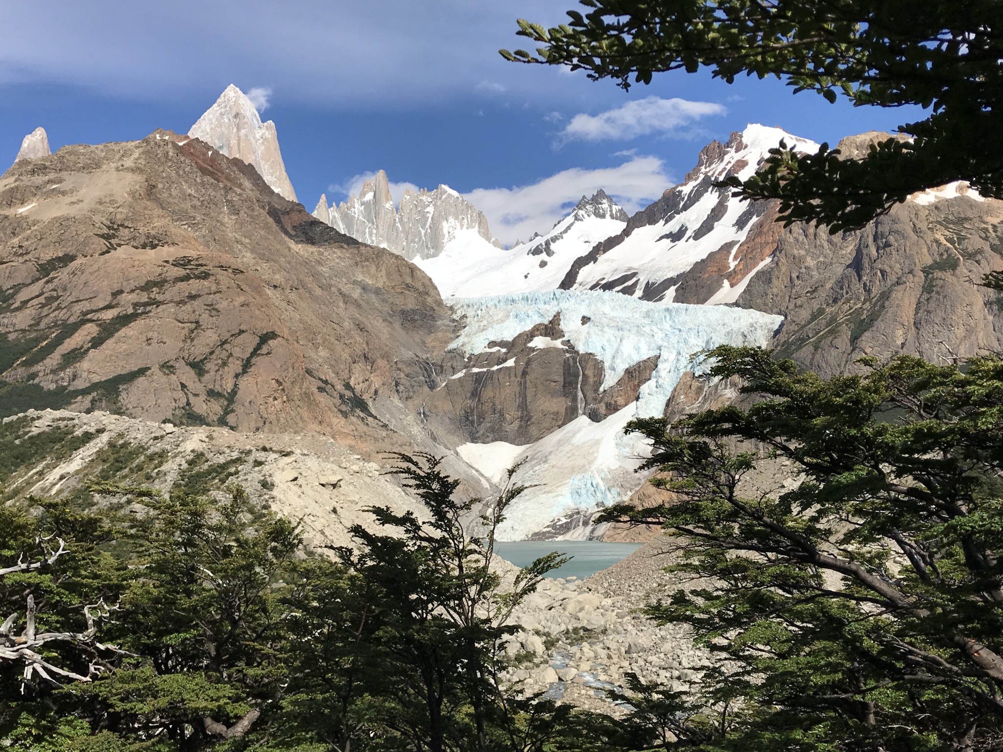
Because we hiked in the night and couldn’t see anything  beyond the little patch of ground where the headlight shone, we didn’t realize how beautiful the whole trail was. On the way back to El Pilar, the mountain range is to our left the whole time, passing Glaciar Piedras Blancas and along Rio Blanco.

Here is a better map so you can see the trails and its relation to the mountain range. 

Two regrets:

  1. I regret not pushing myself to go all the way to Laguna Los Tres (Route D) since we were told  it was very steep and difficult 1.5 hours climb.  Therefore missed the magnificent view of the turquoise water of Laguna de los Tres at the base of Mt Fitz Roy, the closest one can get to Mt Fitz Roy without getting into technical climbing
  2. Should have walked the Camp Poincenot to El Chalten section of the trail, passing Lake Capri. Again, I chickened out worrying about our knees as the guide told us it would be a two hour steep descent.  

Photo credit: Yee Ming Tan (iPhone 7 and iPhone X)